The Aporia
The Aporia
The Aporia
Mukunth, V. (2026, September 6). What’s the issue with the way Africa is shown on maps? | Explained. The Hindu. https://www.thehindu.com/sci-tech/science/whats-the-issue-with-the-way-africa-is-shown-on-maps-explained/article69963529.ece
Mukunth, Vasudevan. “What’s the issue with the way Africa is shown on maps? | Explained.” The Hindu, 6 Sept. 2026, https://www.thehindu.com/sci-tech/science/whats-the-issue-with-the-way-africa-is-shown-on-maps-explained/article69963529.ece.
Mukunth, Vasudevan. “What’s the issue with the way Africa is shown on maps? | Explained.” The Hindu, September 6, 2026. https://www.thehindu.com/sci-tech/science/whats-the-issue-with-the-way-africa-is-shown-on-maps-explained/article69963529.ece.
Dated when The Aporia collected the article, usually within hours of publication. Check the original for its exact date and byline.
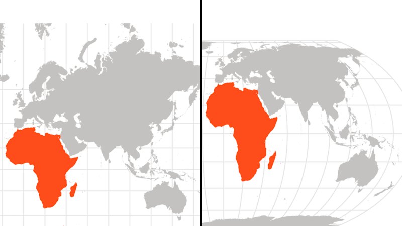
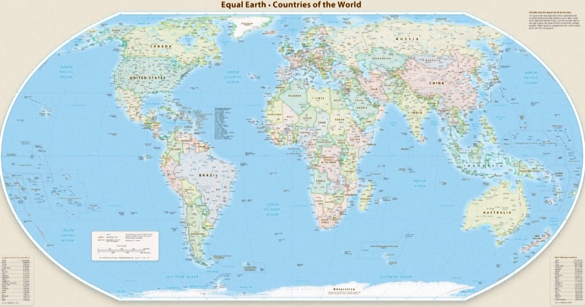
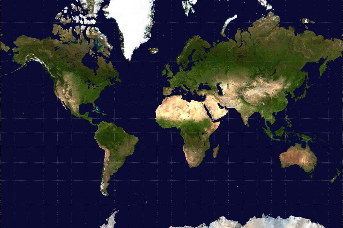
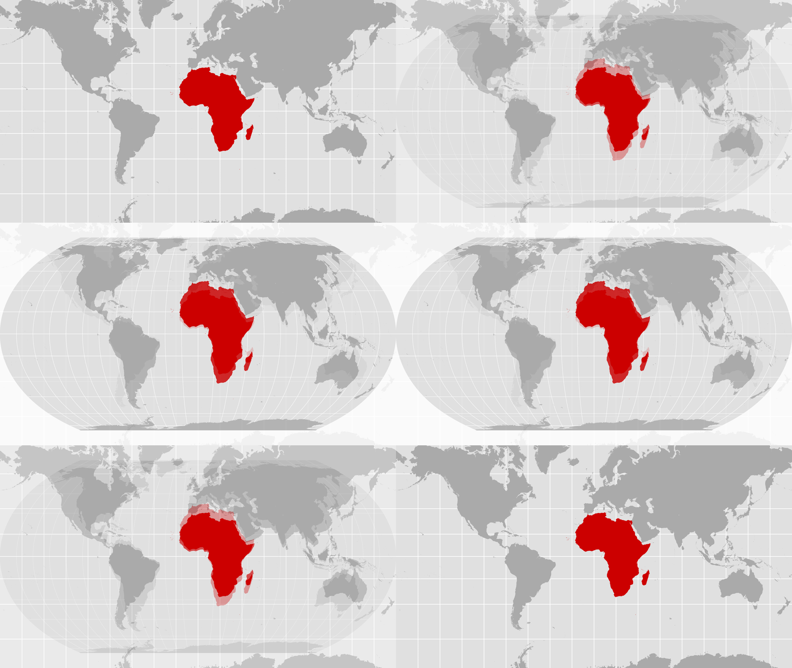
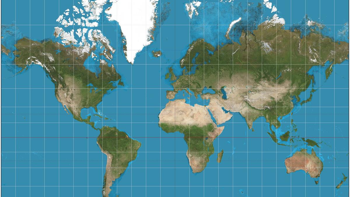
September 4th, 164 countries, including France and the UK, voted in favor of a resolution at the UN General Assembly to adopt a new world map that more accurately reflects the size of Africa. Only the US voted against it, with six other states abstaining. The new map, known as the Equal Earth cartographic projection, aims to provide a more accurate representation of continental landmasses and reduce distortions caused by the traditional Mercator projection, which has been widely used since the 16th century. According to Foreign Minister Robert Dussey of Togo, "a fair world begins with a fair map," highlighting the importance of cartography in shaping our understanding of the world. The resolution promotes the use of the Equal Earth projection over the Mercator projection, which distorts the relative size of land masses by expanding those nearer the poles, making Greenland appear roughly the same size as Africa, although Africa is about 14 times larger.