The U.N. backs a new world map showing Africa in its true relative size
LAGOS, Nigeria —
asserted
U.N. → back → size
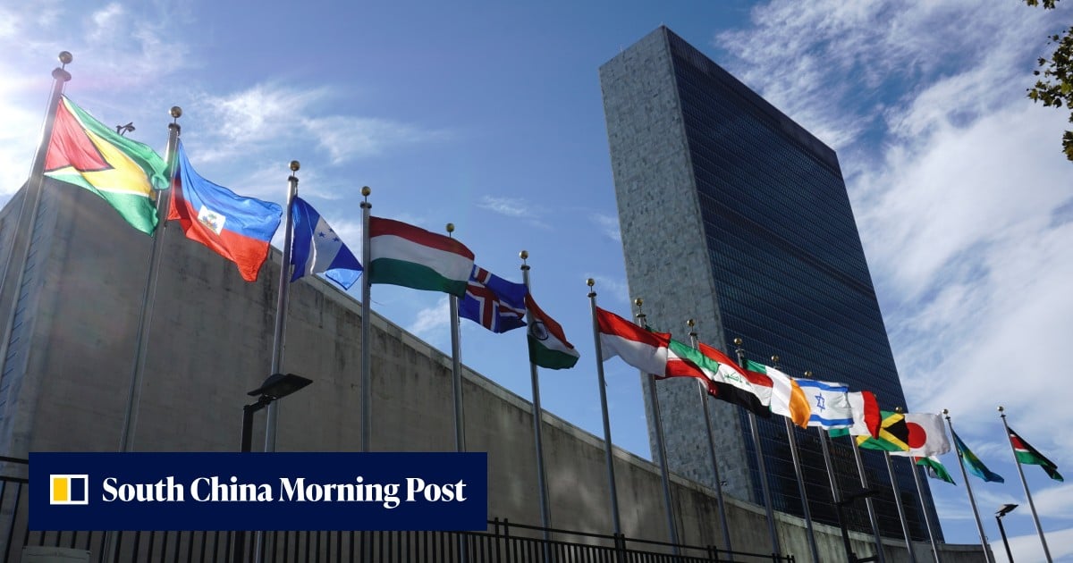
The United Nations General Assembly has overwhelmingly backed a resolution aimed at changing the way Africa and other regions are represented on world maps.
asserted
Africa → back → maps
The "Correct the Map" resolution, introduced by the West African country of Togo on behalf of the African Group (the 54 African member states at the U.N.) and supported by the African Union, was adopted on Friday by a vote of 164 to one, with six countries abstaining.
asserted
countries → correct → one
The United States was the only country to vote against it.
asserted
States → vote → it
Before the vote, Togo's Foreign Minister Robert Dussey said maps are far more than simple representations of geography.
asserted
maps → say → geography
"Maps shape our understanding of the world.
asserted
Maps → shape → world
They guide education, nourish the imagination, and influence collective perceptions," Dussey said.
asserted
Dussey → guide → perceptions
"It's time for us in Africa to take responsibility to change what we can change ourselves."
asserted
we → take → what
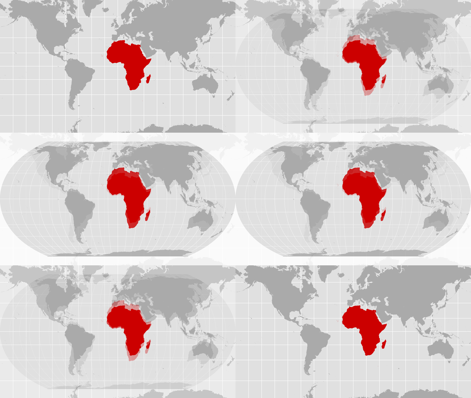
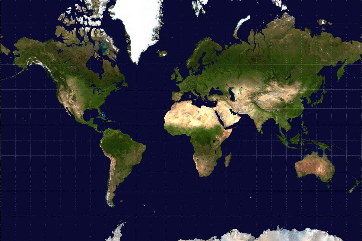
The resolution is not legally binding and does not require countries or institutions to abandon the centuries-old Mercator projection, one of the world's most widely used maps.
asserted
resolution → bind → maps
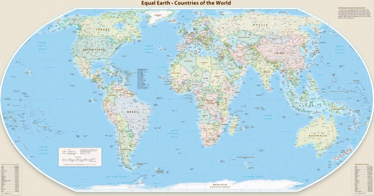
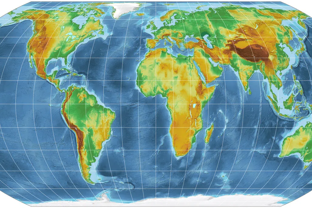
Instead, it encourages wider use of equal-area projections such as Equal Earth, which more accurately show the true relative size of countries and continents, particularly Africa, although their shapes are somewhat distorted.
asserted
shapes → encourage → countries
Members of the Correct the Map campaign are encouraging governments, international organizations and educational institutions to adopt the Equal Earth projection.
asserted
Members → correct → projection
Developed in 2018 by cartographers Tom Patterson, Bernhard Jenny and Bojan Šavrič, the map was designed to provide a more proportionally accurate picture of the world's land masses.
asserted
map → develop → masses
Loading...
That contrasts with the traditional Mercator projection.
asserted
That → contrast → projection
Created in 1569 by Flemish cartographer Gerardus Mercator, it preserves the shape of land masses but distorts their size, with regions closer to the poles appearing significantly larger than they actually are.
asserted
they → create → poles
The Mercator projection was developed primarily for navigation.
asserted
projection → develop → navigation
It allowed sailors to plot courses along straight lines while maintaining a constant compass bearing, making it particularly useful for explorers and navigators.
asserted
it → allow → explorers
But in an interview with NPR last year, Patterson, a former senior cartographer at the U.S. National Park Service, said the Mercator projection can create a misleading impression when used as a general-purpose world map.
asserted
projection → say → map
"If you're using the Mercator map as a world map, say, in the classroom, students would just have a completely warped view of the size of countries in the world," Patterson said.
asserted
Patterson → use → world
Critics have long argued that the projection's distortion makes northern regions appear disproportionately large, while Africa and other areas closer to the equator appear smaller than they really are.
asserted
they → argue → equator
Supporters of the Correct the Map campaign say a different projection could help provide a fairer visual representation of the world and challenge longstanding misconceptions about Africa's size and importance.
uncertain
projection → correct → size
But the United States strongly opposed the initiative.
asserted
States → oppose → initiative
In a statement after the vote, Yaryna Ferencevych, deputy U.S. representative to the U.N. Economic and Social Council, accused the United Nations of promoting an ideological agenda and distracting from more pressing issues.
asserted
Ferencevych → accuse → issues
"Resolutions like this and the ideological agenda they promote, are barnacles on our work here, and the reason this institution is losing its credibility," the statement read.
asserted
statement → promote → credibility
The vote was welcomed by the African Union which has backed the Correct the Map campaign.
asserted
which → welcome → campaign
In a statement on X, the African Union said: "Today's resolution promotes equal-area maps like Equal Earth across classrooms, media, and international institutions, ensuring the world map finally reflects Africa's true scale, weight, and place in the world."
asserted
map → say → world
Patterson expressed his surprise upon seeing the news.
asserted
Patterson → express → news
When we [Bojan Šavrič and Bernie Jenny] created the Equal Earth projection in 2018, we never imagined this," he wrote on social media.
asserted
he → create → media
Carlos Lopes, a professor at the University of Cape Town in South Africa and a prominent advocate of the campaign, also celebrated the result.
asserted
Lopes → celebrate → result
Posting on X after the vote, he wrote: "164 votes in favour!
asserted
he → post → favour
 The Aporia