- See more Daily Mail on Google - save us as a Preferred Source
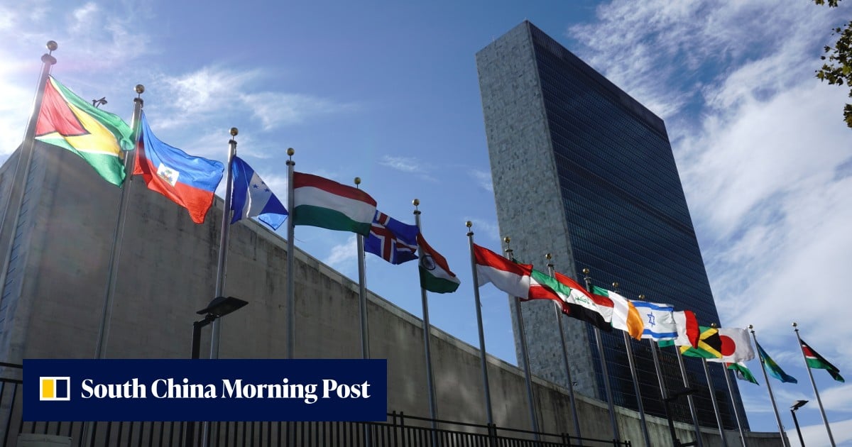
The United Nations has voted to replace the predominant world map with one that vastly increases the size of Africa – while shrinking the UK and US.
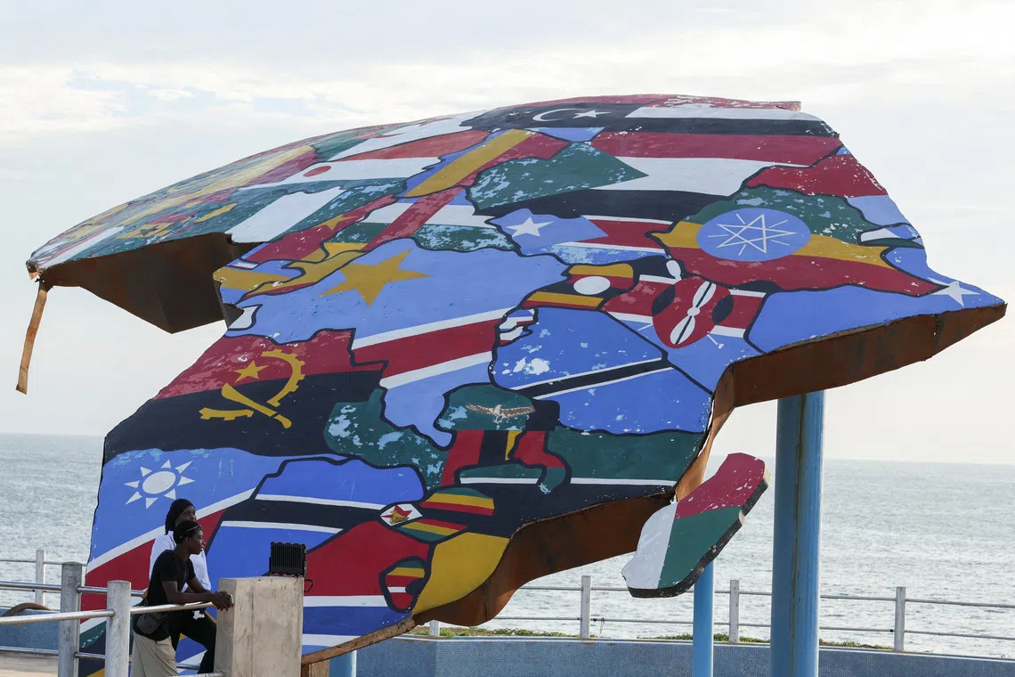
It is the culmination of a recent campaign led by African countries and advocacy groups to reject 'cartographic colonialism'.
asserted
It → see → colonialism
The General Assembly has accepted the 'Correct the Map' resolution and decided to move away from the centuries-old Mercator map and replace it with a new map, the Equal Earth projection.
asserted
Assembly → accept → map
Critics of the Mercator map, which was originally designed for sea travel and not general use, have long argued it reflects Western assumptions about the world by making Africa smaller.
asserted
Africa → design → world
The Mercator projection makes Greenland and Africa appear about the same size, even though Africa is in reality about 14 times larger.
asserted
Africa → make → reality
Campaigners argue the map causes a psychological effect by making some places look smaller than they are and others larger, as we instinctively view bigger things as more important.
asserted
we → argue → things
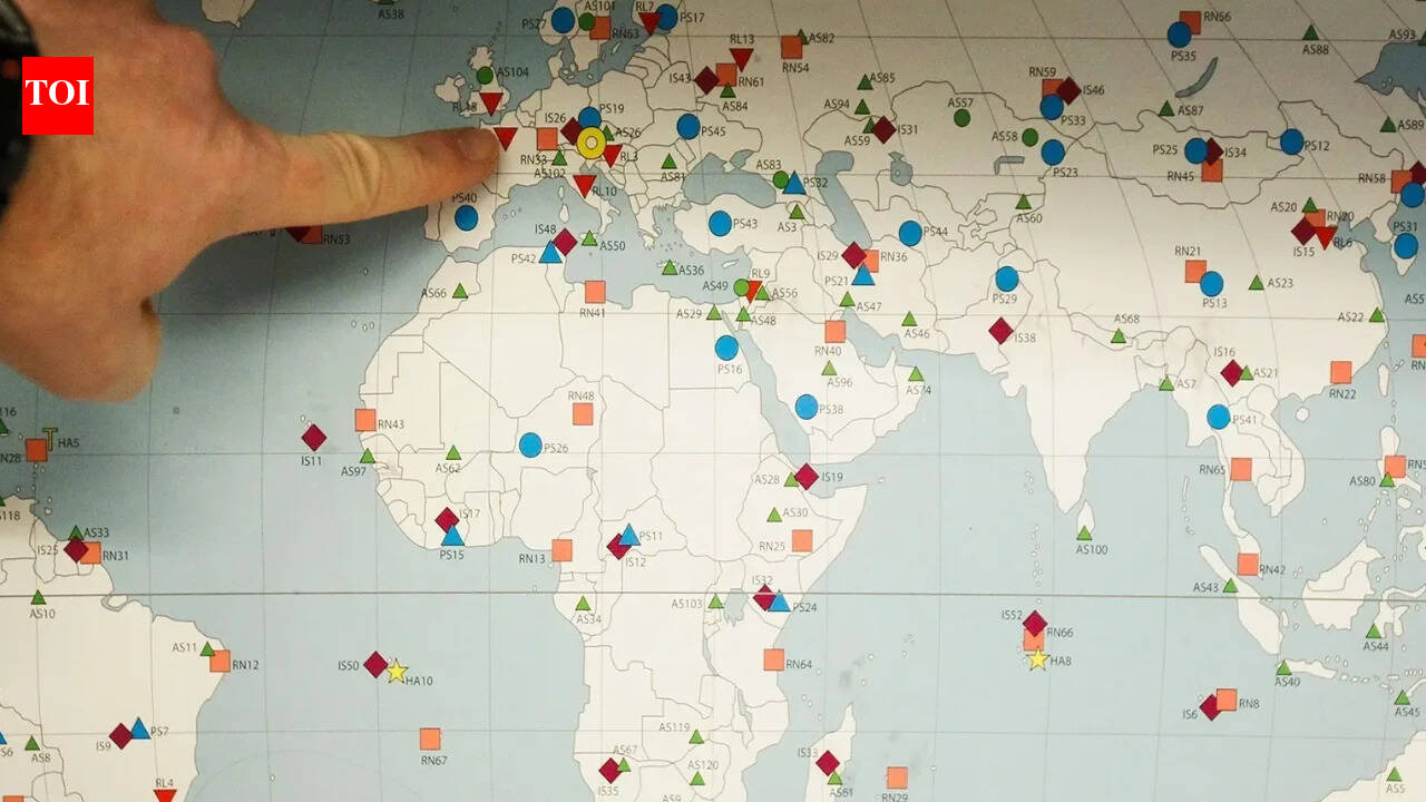
The UN has voted to replace the centuries-old Mercator map (pictured) with one that vastly increases the size of Africa - while shrinking the UK and US
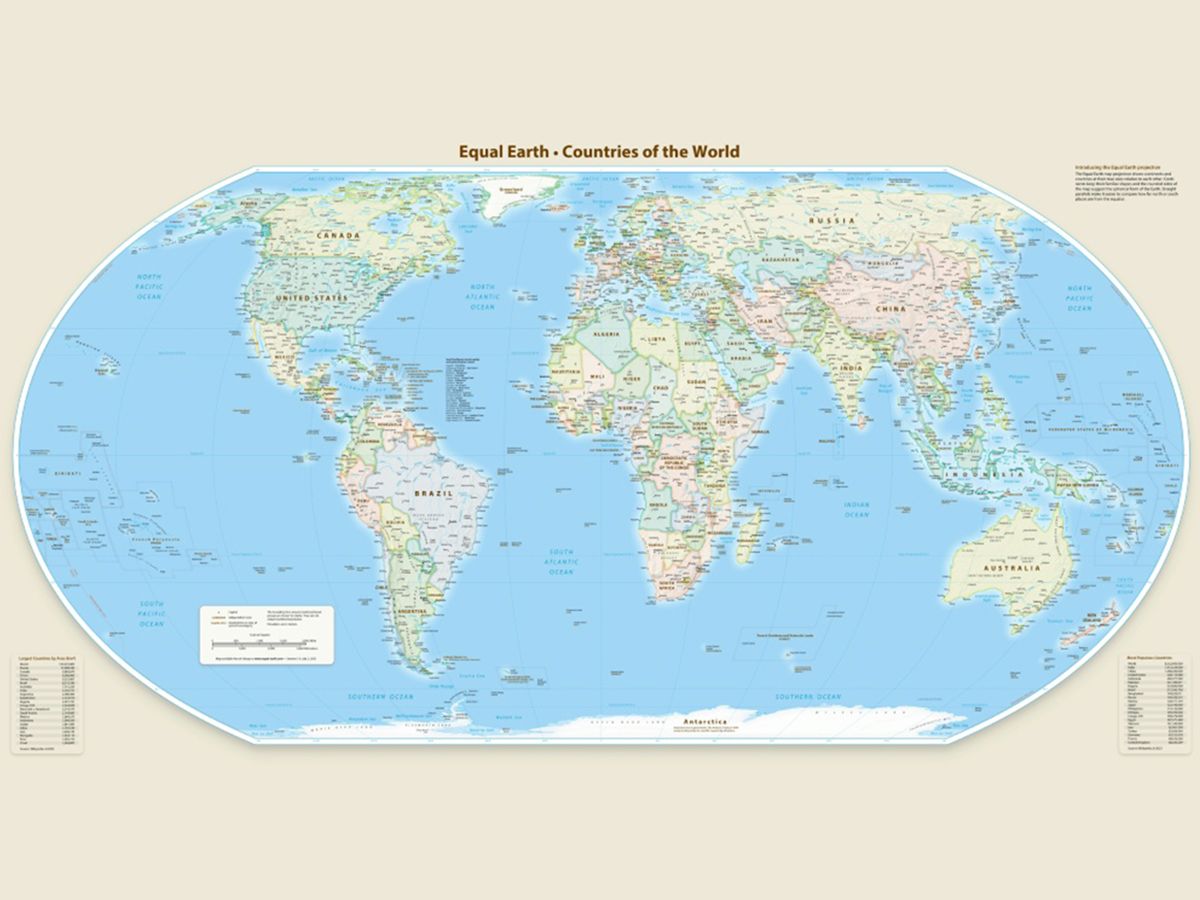
The General Assembly has accepted the 'Correct the Map' resolution and decided to move towards a new map, the Equal Earth projection (pictured)
Graphic showing how the Mercator map increases the apparent size of countries in the northern hemisphere, while shrinking those near the equator
A supporter of the change, Togolese Foreign Minister Robert Dussey, told news agency Reuters: 'A fair world begins with a fair map.'
He told a UN briefing earlier: 'A map is never neutral.
asserted
map → vote → briefing
It shapes perceptions, influences how the place of peoples and continents in the world is understood.'
asserted
place → shape → world
Friday's resolution was sponsored by Togo and backed by members of the African Union, passing with 164 member states voting in favour.
asserted
states → sponsor → favour
Only the US voted against it while six other countries – Serbia, Estonia, Georgia, Lithuania, Moldova and Ukraine - abstained.
The new resolution does not ban the Mercator projection or impose a replacement, it only encourages governments and institutions worldwide to use the Equal Earth projection.
'Maps shape our understanding of the world,' the global body quoted Togo´s Foreign Minister Robert Dussey as saying before the vote.
asserted
body → vote → vote
'They guide education, nourish the imagination, and influence collective perceptions.'
But US representative at the UN, Yaryna Ferencevych, said the resolution mocked the work and purpose of the UN General Assembly.
She said: 'Instead of focusing on genuine problems of international peace, prosperity, or good relations, this body is debating map projects from the 16th Century, and their role in promoting reparations and "cognitive justice".'
asserted
body → guide → reparations
The US was also critical when a UN resolution was adopted in March declaring the transatlantic slave trade 'the gravest crime against humanity'.
asserted
trade → adopt → humanity
The Mercator map was designed in 1569 by Flemish cartographer Gerardus Mercator to help Europeans navigate across the world at sea.
asserted
Europeans → design → sea
But to help with this task, he distorted the map to accommodate the curvature of the Earth by making countries near the equator seem smaller than they are, with countries nearer the poles appearing larger.
asserted
countries → help → poles
Whenever a map of the world is drawn, compromises need to be made, as it is impossible to accurately represent the surface of a globe on a two-dimensional chart.
asserted
it → draw → chart
Geographers say the traditional map is only useful for navigation.
asserted
map → say → navigation
Despite its issues, more than 450 years on, Mercator's creation is still the basis for many of the maps we see in classrooms, on TV and online, including Google Maps.
asserted
we → see → Maps
In an effort to address Mercator's weaknesses, a team of cartographers in 2018 created an equal area map they called the Equal Earth projection.
asserted
they → address → map
It follows the Earth´s curvature and shows continents in their true proportions.
But to do this, it sacrifices the straight lines that made the Mercator projection perfect for navigating with – meaning it cannot be used for measuring the true distance between different places.
asserted
it → follow → places
Africa No Filter, one of the lead campaigners for the adoption of the new map, hailed the resolution, adding: 'We want to see accurate maps in schools, textbooks, newsrooms, businesses and on the digital platforms billions of people use every day.'
Several countries hailed the adoption, with French Foreign Minister Jean-Noël Barrot writing on X after the vote: 'Changing the map obviously doesn´t change the world.
asserted
Changing → hail → world
But correcting a representation that distorts it is already an act of truth.
asserted
that → correct → truth
Lerato Mogoatlhe from Africa No Filter, one of the groups behind the campaign to ditch the Mercator map, told the BBC: 'Africa's misrepresentation on world maps is not just a cartographic error - it's a narrative issue.'
asserted
it → ditch → maps
She claims it was part of efforts to stop the 'world's longest misinformation and disinformation' about Africa.
uncertain
it → claim → Africa
Kenyan geographer Kioko Muendo argued it implicitly downplayed Africa's vast resources, population and investment opportunities.
asserted
it → argue → resources
 The Aporia