World News, Today World News, Latest International News, World Breaking News, Trending News of World - Times of India
· collected 2026-09-05 · by Karan Manral
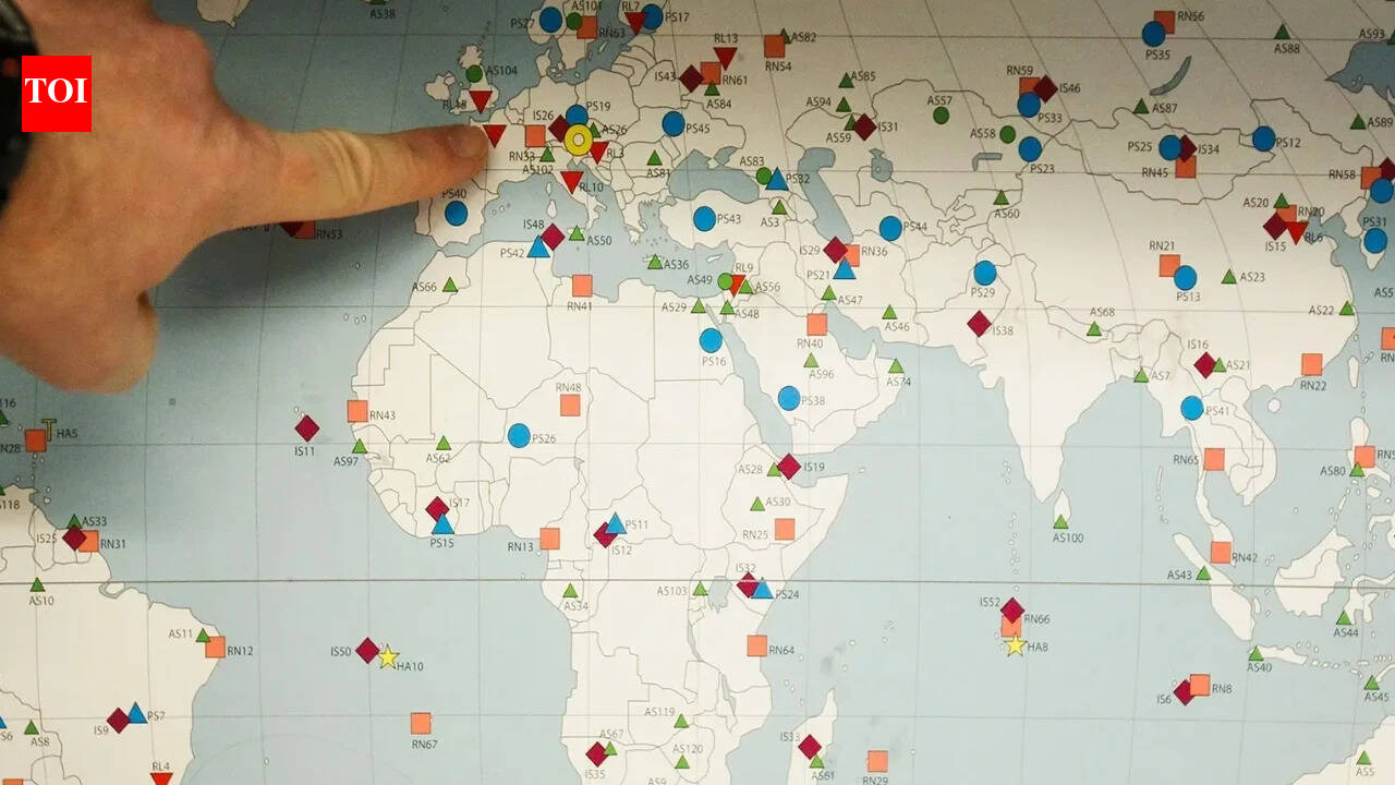
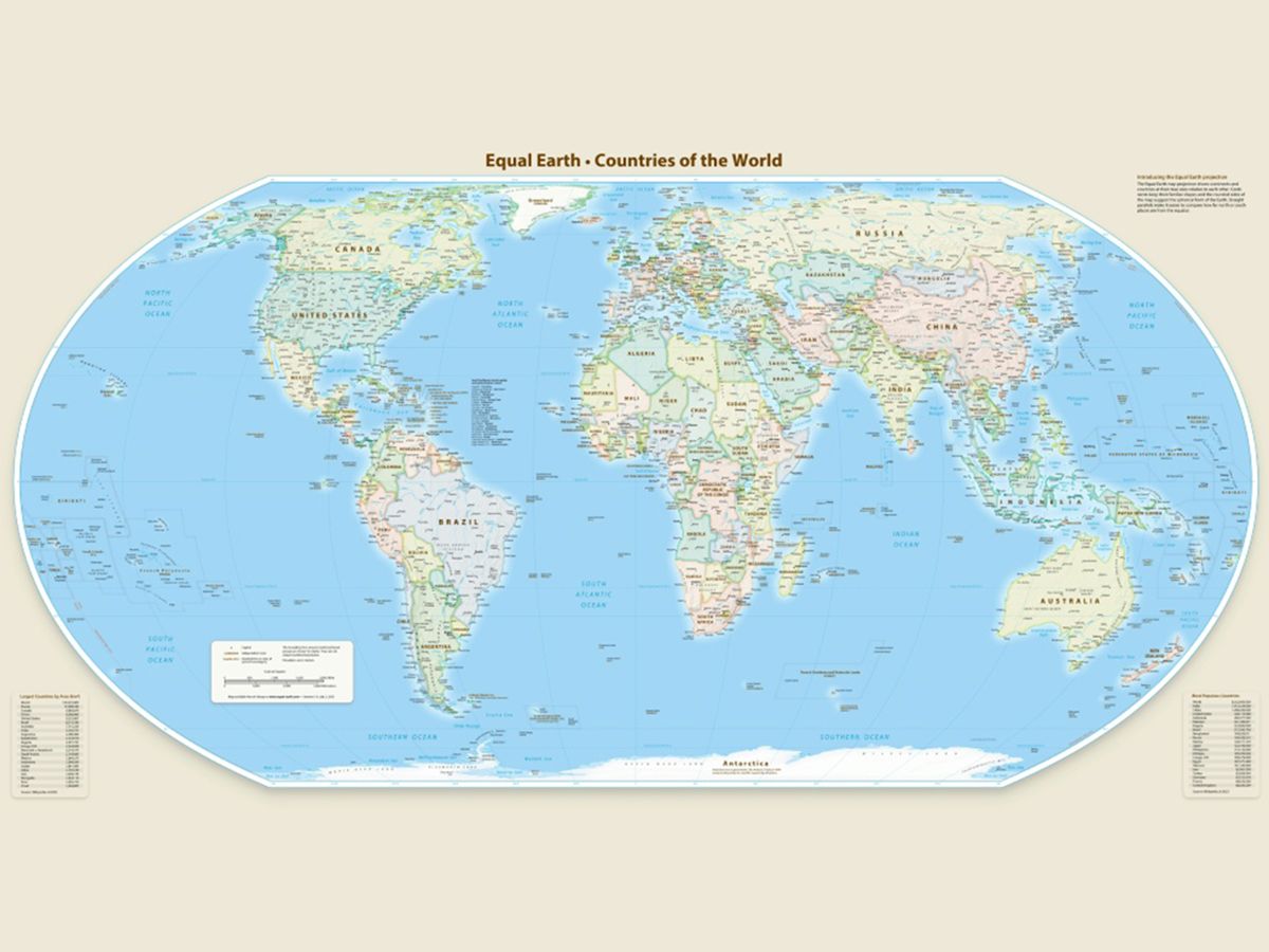
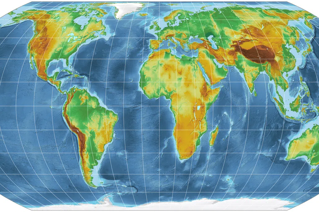
The United Nations General Assembly has endorsed a new world map called the Equal Earth projection, which accurately reflects Africa's size. 164 countries voted in favor of the resolution, while the US was opposed and six countries abstained. The new map shows Africa as about 14 times larger than Greenland, whereas under the traditional Mercator projection, they appear roughly comparable in size. The resolution encourages governments and institutions to consider using the Equal Earth projection instead of the Mercator projection, but does not prohibit the use of the latter.
Written by the local model on 2026-09-05,
using this article's own text rather than the other coverage of the
same event.
Why this leaning score
The article's own words the score was based on. Each is quoted
verbatim and was checked against the article text before being
stored, so you can find it in the original.
Leaning score -0.35 for article 4466 (high confidence, 2 verified quotes) · logged 2026-09-05
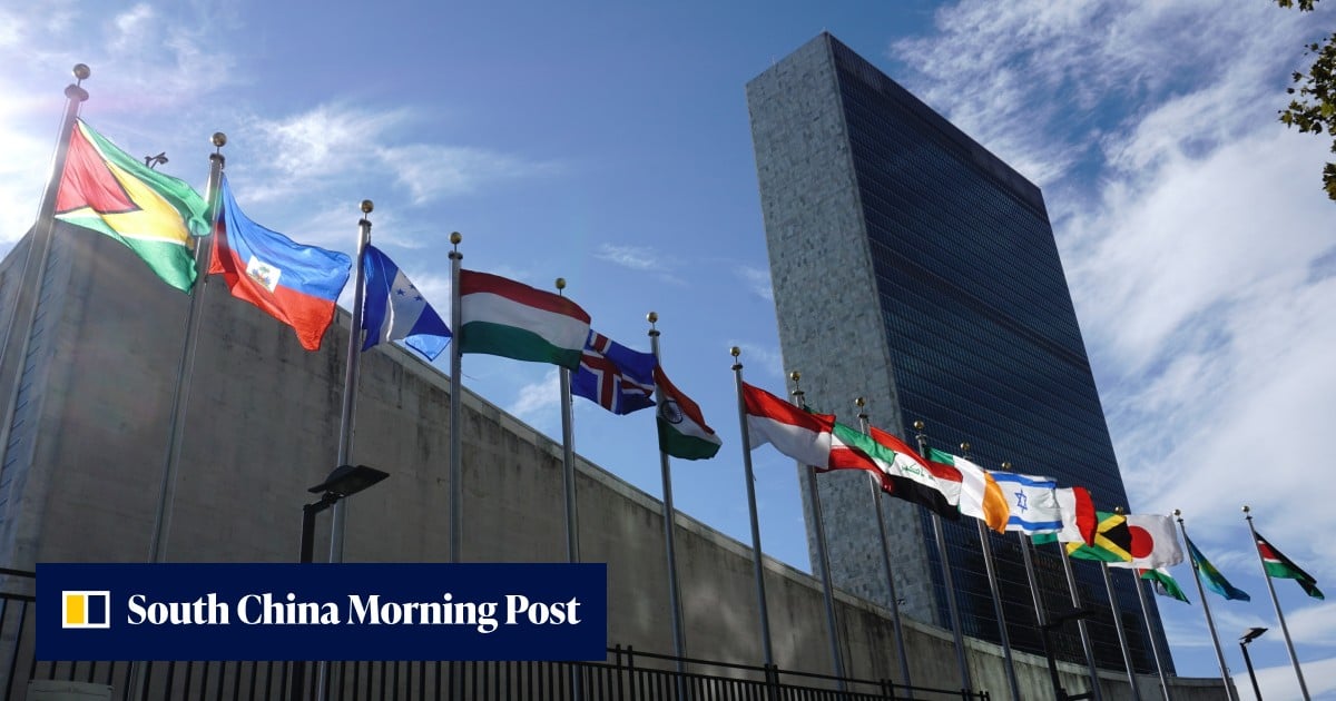
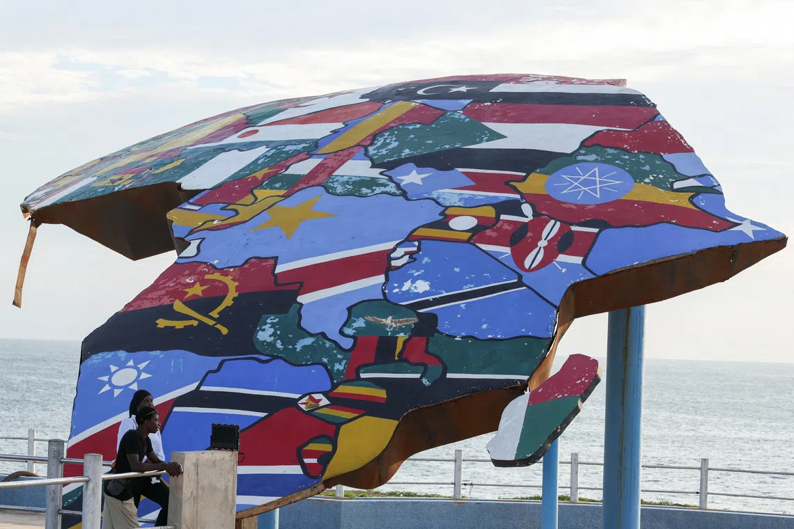
The United Nations General Assembly (UNGA) on Friday endorsed a new world map that more accurately reflects Africa’s actual size, marking the culmination of a Togo-led campaign backed by the African Union and various advocacy groups.
asserted
that → endorse → Union
The UNGA adopted a resolution titled “Correct The Map”, with 164 member states voting in favour.
asserted
states → adopt → favour
The United States was the only country to vote against the resolution, while six countries — Serbia, Estonia, Georgia, Lithuania, Moldova and Ukraine — abstained.
asserted
countries → vote → resolution
The campaign urged governments and institutions worldwide to move away from the traditional Mercator projection, which has been widely used since the 16th century, and adopt the Equal Earth projection.
asserted
which → urge → projection
Advocates and geographers say the Equal Earth map provides a more accurate representation of the relative size and proportions of continents.
asserted
map → say → continents
Under the Mercator projection, Greenland appears roughly comparable in size to Africa, despite being far smaller.
asserted
Greenland → appear → Africa
The Equal Earth projection, by contrast, depicts continents in more accurate proportions, showing Africa as about 14 times larger than Greenland.
asserted
projection → depict → Greenland
However, the resolution does not prohibit the use of the Mercator projection or mandate its replacement.
asserted
resolution → prohibit → replacement
According to a UN report, it simply encourages governments and institutions to consider using the Equal Earth projection instead.
uncertain
it → accord → projection
“Maps shape our understanding of the world,” Togo’s foreign minister Robert Dussey was quoted by the UN as saying ahead of the vote.
asserted
minister → shape → vote
“They guide education, nourish the imagination, and influence collective perceptions.”
asserted
They → guide → perceptions
Africa No Filter, one of the leading groups behind the campaign to promote the new map, welcomed the resolution and called for more widespread use of accurate maps.
asserted
Filter → lead → maps
“We want to see accurate maps in schools, textbooks, newsrooms, businesses and on the digital platforms billions of people use every day,” the organisation said.
asserted
organisation → want → people
Several countries also welcomed the resolution and backed greater adoption of the Equal Earth projection.
asserted
countries → welcome → projection
French Foreign Minister Jean-Noël Barrot said on X following the vote: “Changing the map obviously doesn’t change the world.
asserted
Changing → say → world
But correcting a representation that distorts it is already an act of truth.
asserted
that → correct → truth
The Mercator projection was developed by Flemish cartographer Gerardus Mercator to assist European navigators at sea.
asserted
projection → develop → sea
However, critics argue that the projection significantly distorts the size of landmasses, making regions closer to the poles, such as North America and Greenland, appear much larger while making Africa and South America appear smaller.
asserted
Africa → argue → America
Introduced in 2018, the Equal Earth projection takes the Earth’s curvature into account and presents continents in proportions that more closely reflect their actual size.
asserted
that → introduce → size
In it, Europe appears to shrink, Brazil balloons, and Greenland dramatically diminishes.
asserted
Greenland → appear → it
Africa appears much larger in comparison.
asserted
Africa → appear → comparison