Claims extracted
23
sentences that state something as happening or true
Uncertain
39%
9 of 23 hedged
("reportedly", "may", "according to")
Leaning
not political
takes no side on a contested political question
Publisher signals
69/100
BBC News's corrections and
hedging, across everything collected from it. Not a measure of accuracy.
Outlets on this story
1
Environment
Same framing elsewhere
1
articles that frame the event the way this one does
- Published
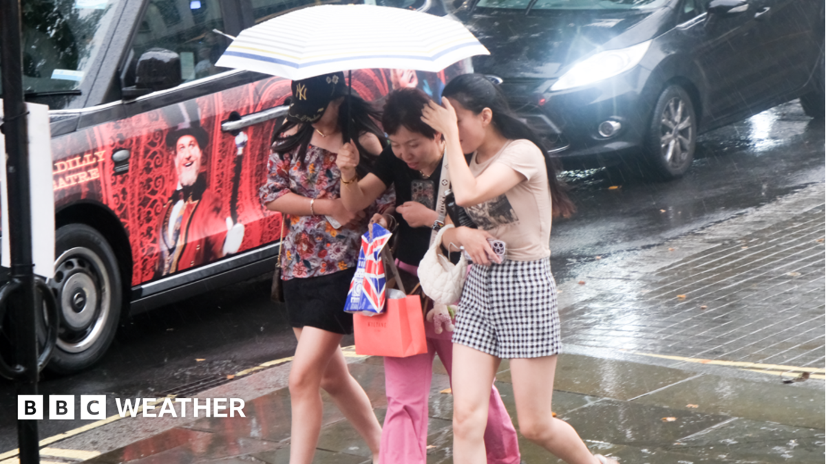
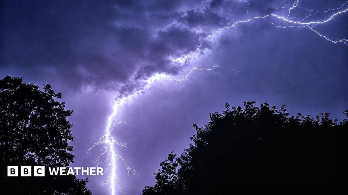
Yellow weather warnings have been issued by the Met Office as heavy rain and thunderstorms are forecast to break out over parts of the UK later this week.
asserted
rain → publish → UK
The warnings span Wednesday and Thursday and include parts of east Wales, the Midlands, northern England, East Anglia and southern England - including London.
asserted
warnings → span → London
While good news for regions plagued by drought, significant accumulations could lead to flash flooding where the ground is too dry and hard to absorb the downpours.
uncertain
ground → plague → downpours
Thunderstorms to fire up on Wednesday morning
The storms, which will drift out of France and move northwards, will be sparked as warm and humid air sets in from the south.
asserted
air → fire → south
Initially, a few showers are likely to reach Cornwall and the West Country during Tuesday evening, but heavier downpours bringing thunder and lightning are likely to hit later in the night.
asserted
downpours → reach → night
The first band of heavy showers may reach the southeast coast of England around midnight, and then cross Greater London before moving northwards into the home counties and East Anglia.
uncertain
band → reach → counties
The first yellow weather warning is set to come into force at 03:00 BST on Wednesday and last until 22:00 BST.
asserted
warning → set → BST
Though not all locations in the warning area will experience thunderstorms, flooding is possible in those that do, with 20-30mm of rain possible in less than an hour.
asserted
mm → experience → hour
The hardest hit locations could see up to 40-50mm in two to three hours.
uncertain
locations → hit → hours
Flash flooding is possible in areas where the ground is dry and very hard, making it difficult for rainfall to be absorbed.
asserted
rainfall → make → areas
The most intense downpours could also bring large hail with gusty winds.
uncertain
downpours → bring → winds
During the morning on Wednesday, the storms may spread further north into the Midlands and the Peak District but the forecast becomes less certain in terms of location and intensity.
uncertain
forecast → spread → location
Thunderstorm and flood threat continues on Thursday
The storms and downpours which will have brought flash flooding and hail are forecast to continue into Thursday.
asserted
which → continue → Thursday
A second weather warning for thunderstorms will come into force at 06:00 BST and last until 22:00 BST.
asserted
warning → come → BST
Some may become slow moving across the Midlands, Wales and Northern England leading to more flash flooding.
uncertain
Some → become → flooding
Many areas could see 20-30mm of rain in just three hours, with up to 50mm possible in some places.
uncertain
mm → see → places
According to the Met Office, there is also a small chance of considerably higher totals, particularly over east-facing higher ground, where more than 75mm could fall within 12 hours.
uncertain
mm → accord → hours
Lightning may be frequent and hail of around 1-2cm could fall.
uncertain
hail → fall → cm
Why are rain and thunderstorms difficult to forecast?
asserted
rain → forecast → ?
Thunderstorms are notoriously difficult to predict because they can develop very quickly and on a relatively small scale.
asserted
they → predict → scale
Tiny differences in temperature, humidity, wind and atmospheric instability can determine whether a storm forms at all or where it moves.
asserted
it → determine → temperature
Forecast models can often identify the risk of thunderstorms across a wider area, but pinpointing precisely where and when an individual storm will strike is very hard.
asserted
storm → identify → area
Even a few kilometres can make the difference between a torrential downpour with thunder and lightning, and somewhere staying completely dry.
asserted
kilometres → make → thunder
 The Aporia