The Aporia
The Aporia
The Aporia
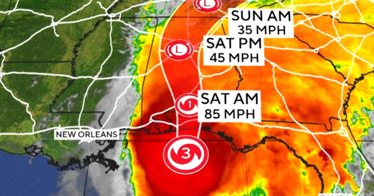
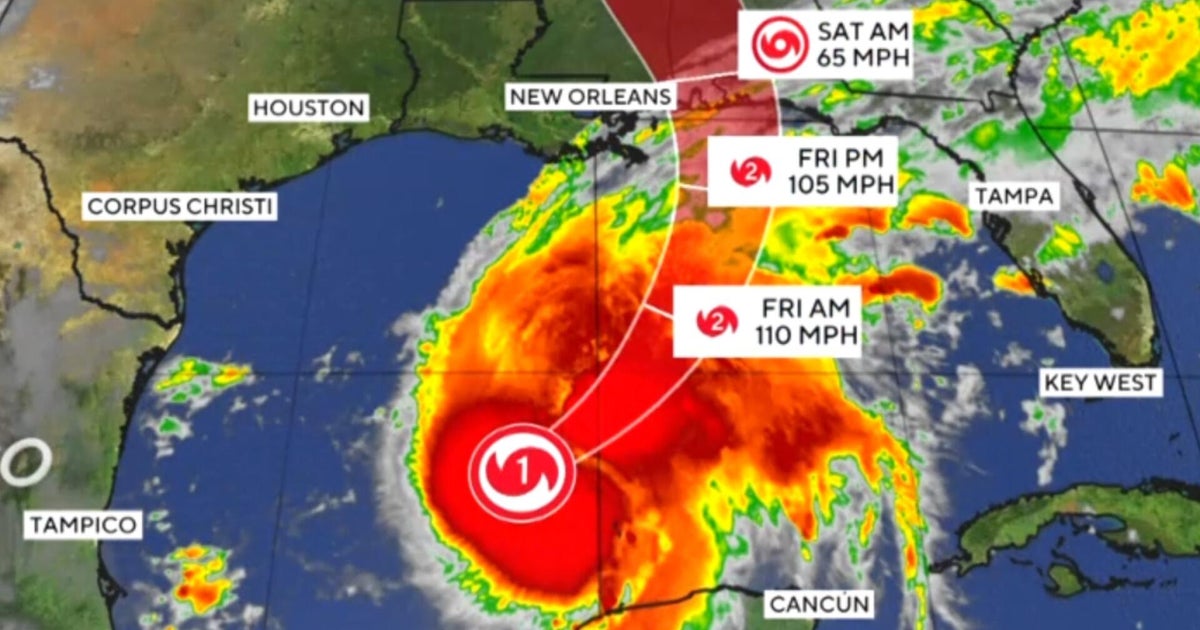
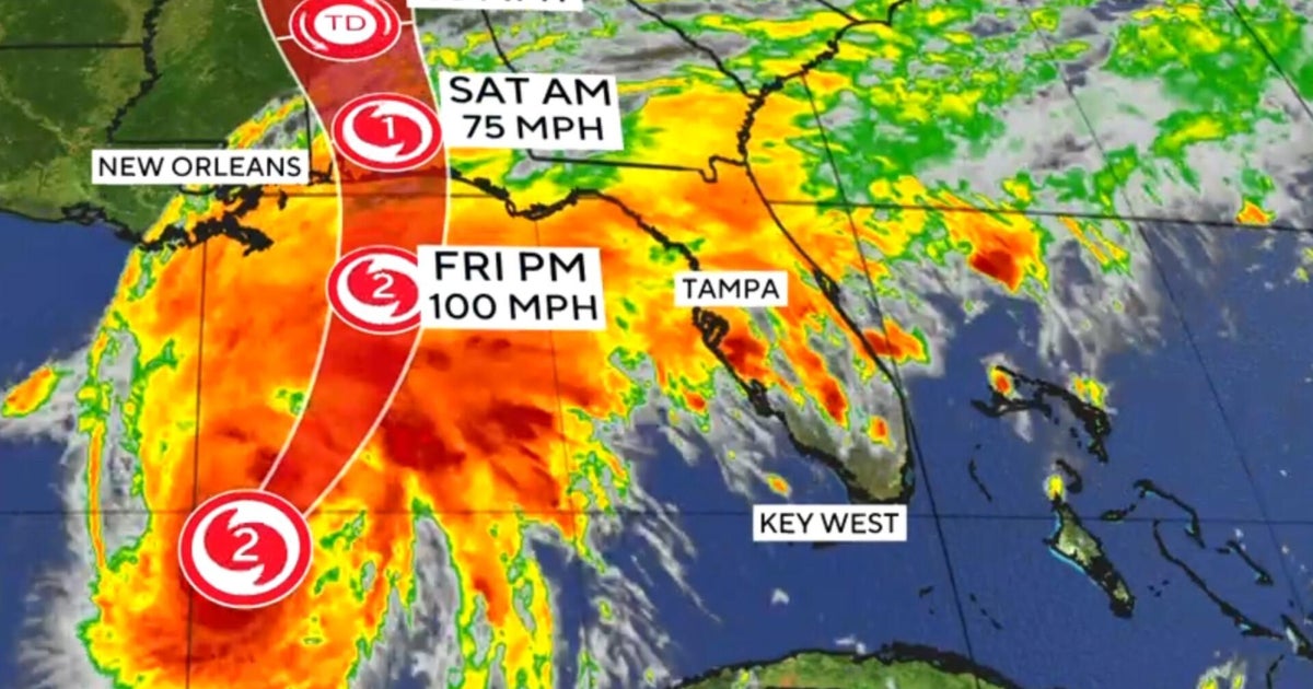
Tropical Storm Isaias formed off the coast of eastern Mexico on October 7 and was expected to strengthen into a hurricane before hitting the U.S. Gulf Coast by early October 10. As of Wednesday, it was located about 285 miles west of Progreso, Mexico, with maximum sustained winds of 40 mph, moving east-northeast at 8 mph. By Thursday, Isaias had strengthened into a hurricane with winds around 75 mph, prompting Florida Governor Ron DeSantis to declare a state of emergency for 25 counties.
Forecasters predicted landfall between the Mississippi coast and the Florida Panhandle, potentially bringing heavy rains, storm surges, and dangerous winds. The National Hurricane Center warned of "multiple life-threatening impacts" including damaging hurricane-force winds and flash flooding from southeast Louisiana to Florida’s Big Bend area. Isaias could also cause disruptions in oil production along the Gulf Coast, affecting already high fuel prices.
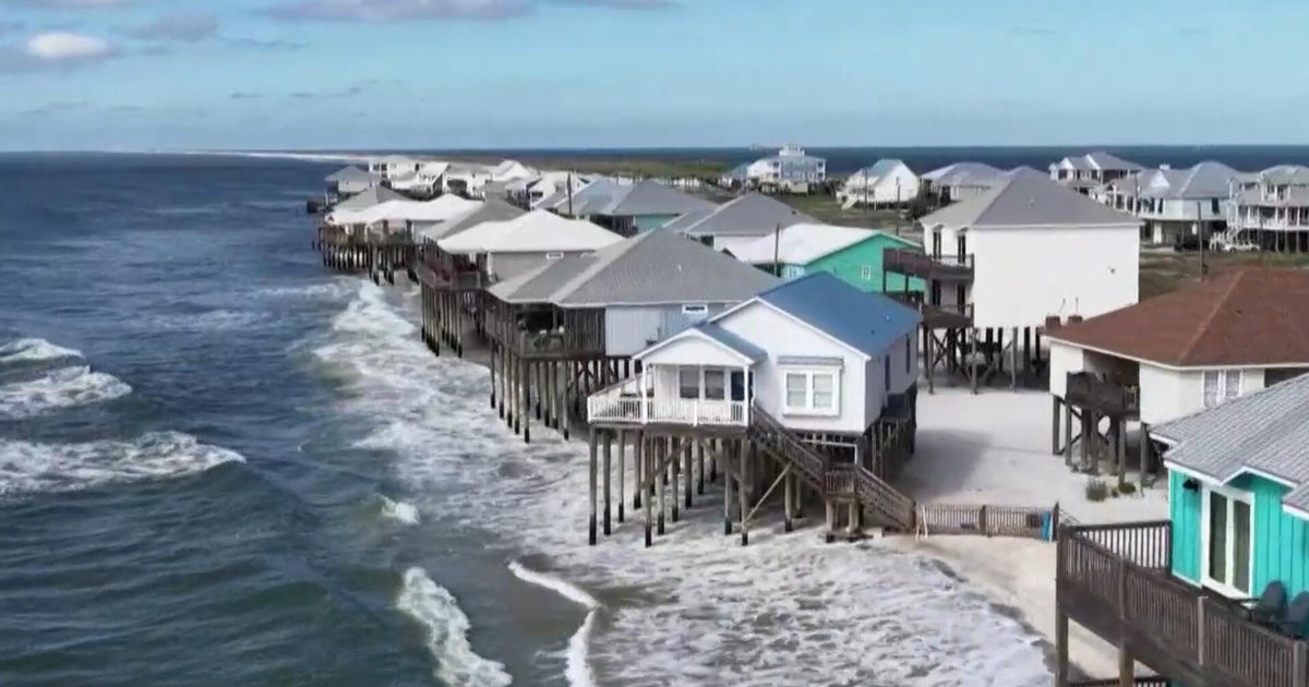
Communities are preparing for potential tornadoes, storm surges up to 15 feet, and rainfall amounts of 3 to 7 inches across parts of Alabama, Mississippi, and Florida. Some areas have issued mandatory evacuations and closed schools ahead of Isaias' arrival, marking the first hurricane of an unusually quiet Atlantic season disrupted by a strong El Niño weather pattern.