That is 0 articles you have read today.
The Aporia is free and carries no advertising, so readers are the only
thing paying for it. If you are getting this much out of it, a small
donation is what keeps it independent.
Daily limit reached
You have read 0 articles today.
That is more than the 15 a day The Aporia gives away,
and well past what it can carry on nothing. Your allowance resets at
midnight.
There is no advertising here and nothing about you is sold, so readers
are the only thing paying for it. If the site is worth this much of
your day, it is worth a few dollars.
Everything else stays open: the
maps, the
directory and
search do
not count against this, and neither does re-opening something you have
already read today.
South-east Queensland is preparing for severe thunderstorms expected on Tuesday after an extremely dry September where the state recorded just 1.4 millimetres of rain. The Bureau of Meteorology warns of potential damaging wind gusts, large hail, and flash flooding in areas including Brisbane, Gold Coast, and Sunshine Coast. While not everyone will experience storms, those who do may face hazardous weather conditions, though some very dry regions might receive heavy rainfall. Senior meteorologist Angus Hines notes that despite the El Niño pattern typically suggesting dry weather, current models predict a high chance of above-average rainfall for south-east Queensland in coming months.
Written locally by qwen2.5:14b on 2026-10-05,
using this article's own text rather than the other coverage of the
same event (that is the story summary below).
Story summary
Queensland, including Brisbane and the Gold Coast, is bracing for severe thunderstorms on Tuesday after a very dry September. The Bureau of Meteorology predicts potential storm outbreaks, bringing hazardous conditions like damaging winds, large hail, and flash flooding to affected areas. Senior meteorologist Angus Hines says this will be the first significant storm event in spring, following only 1.4 millimetres of rain recorded across the state last month. While not every area is expected to see storms, those that do may face “disruptive weather.”
Written for “Storm Brings Rain To South East” on 2026-10-05,
grounded in this article and the 0 other(s) covering the same event.
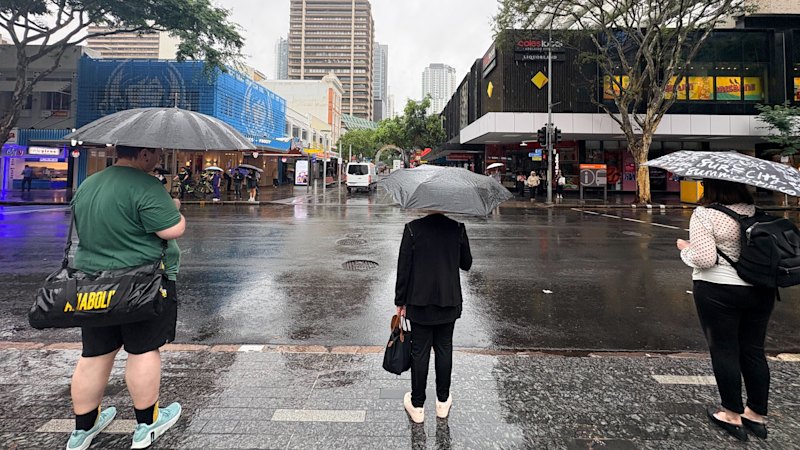
Residents across south-east Queensland are preparing for a “dynamic” weather shift with severe thunderstorms predicted across the region on Tuesday, following an extremely dry September across the entire state.
asserted
thunderstorms → prepare → state
Patchy, light rain was possible across inland parts of Queensland, including through the Darling Downs and into the south-east on Monday, before shifting on Tuesday afternoon, the Bureau of Meteorology said.
“For the first time this spring, we are looking at potential for a decent sized storm outbreak in Queensland,” senior meteorologist Angus Hines said.
asserted
Hines → include → Queensland
Areas likely to be hit by severe thunderstorms include Brisbane, Gold Coast, Sunshine Coast, parts of the Burnett Region and west towards Toowoomba.
asserted
Areas → hit → Toowoomba
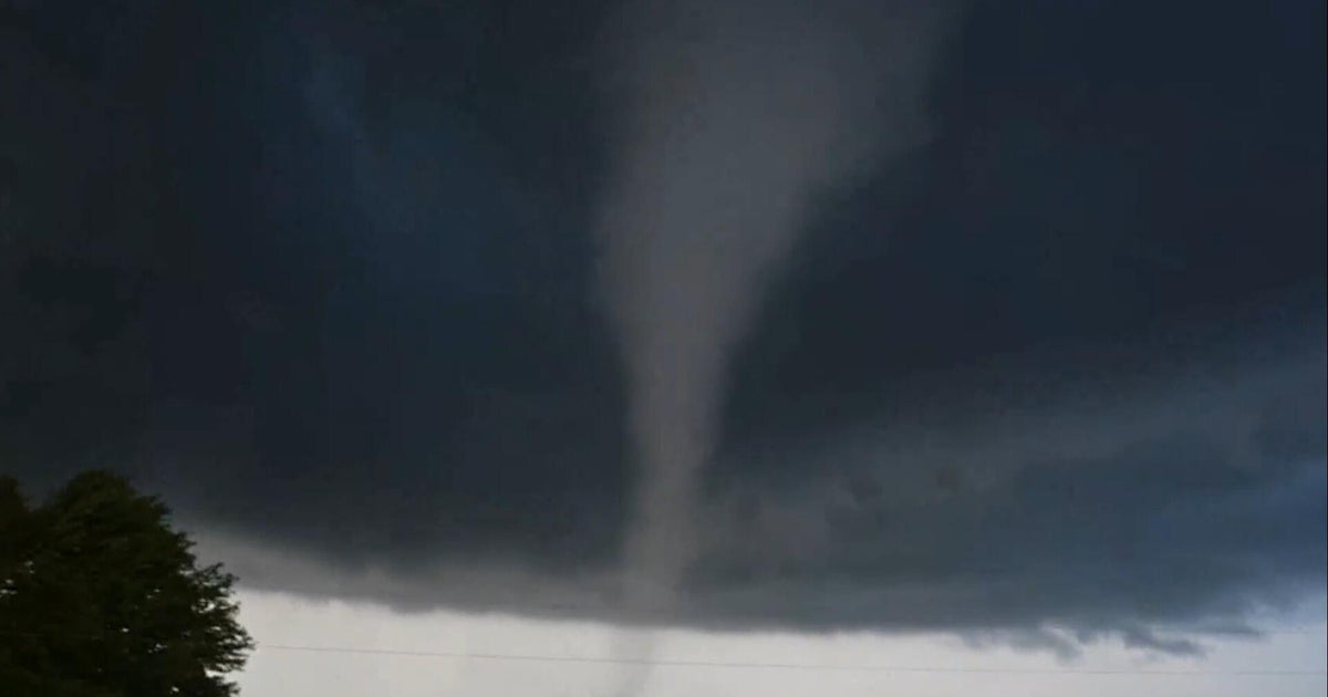
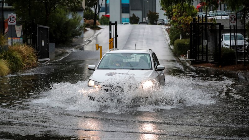
Hazardous weather conditions are also possible, with the bureau warning of the potential for damaging wind gusts, large hailstorms above two centimetres and flash flooding.
asserted
bureau → warn → centimetres
“Not everyone will probably pick up a storm tomorrow,” Hines said.
asserted
Hines → pick → storm
“But the areas that do, it’s certainly going to … bring some pretty disruptive weather.”
asserted
it → do → weather
The possibility of rain is welcome news for Queenslanders following an “extremely dry” September, with the state recording only 1.4 millimetres of rain for the entire month.
asserted
state → follow → month
Tuesday’s storm wasn’t expected to fill the gage, but suburbs directly impacted by the system will enjoy a short, heavy downpour.
asserted
suburbs → expect → downpour
“Unfortunately, when it comes to rainfall, some places who have been really dry will get a good soak of rain,” Hines said.
asserted
Hines → come → rain
“For some it might it too much too fast, and for others, you probably won’t get as much as you’re looking for.”
uncertain
you → it → much
Australia and the Pacific Ocean is currently in the grip of a strong El Nino weather pattern, the bureau said, which many people assume means only dry weather or a drought season.
asserted
people → say → weather
Hines said this is not always the case, with current modelling showing a high chance of above-average rainfall for south-east Queensland and other parts of the state in coming months.
asserted
modelling → say → months
“We don’t have summer long-range forecasts … but we have got an elevated chance of above-average rainfall in a large part of Queensland over this coming three-month period,” he said.
asserted
he → have → period
“El Nino doesn’t always lead to drought … [but it does] tend to bring elevated heat … [and] push the average temperature then above and beyond a typical summer.
“So every chance we’ll be dealing with a pretty hot burst of weather [in coming months], but maybe that’ll be hot and muggy and sticky as opposed to hot and dry.”
asserted
that → lead → months
The Bureau said showers are possible on Wednesday and Thursday, though Tuesday remained “the most dynamic” weather day.
asserted
Tuesday → say → Wednesday
 The Aporia